|
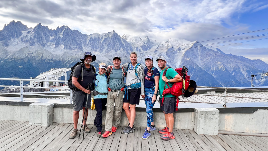
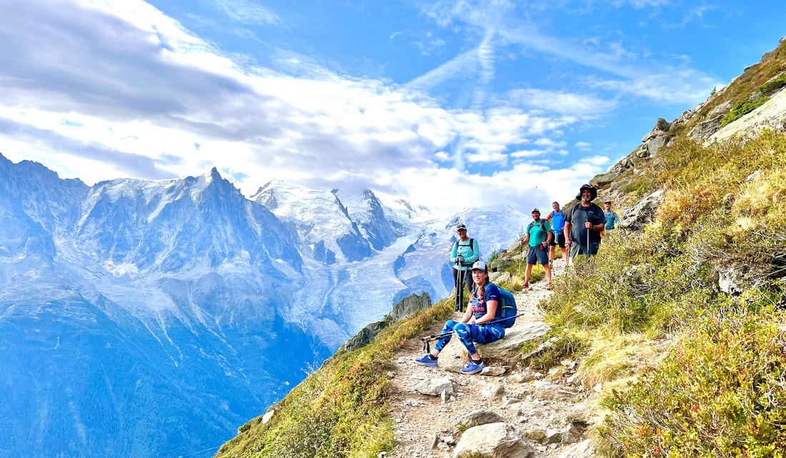
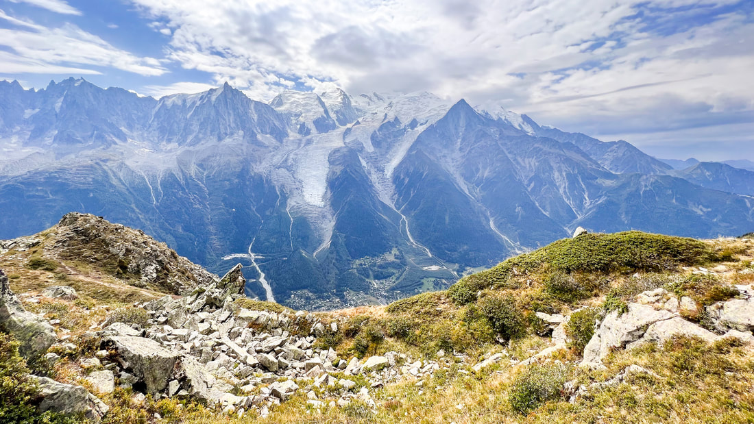
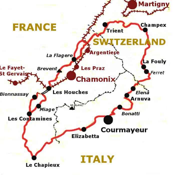
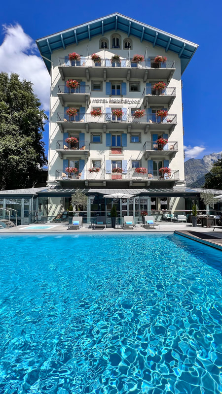
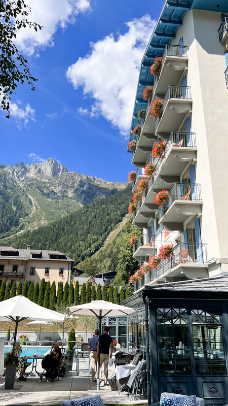
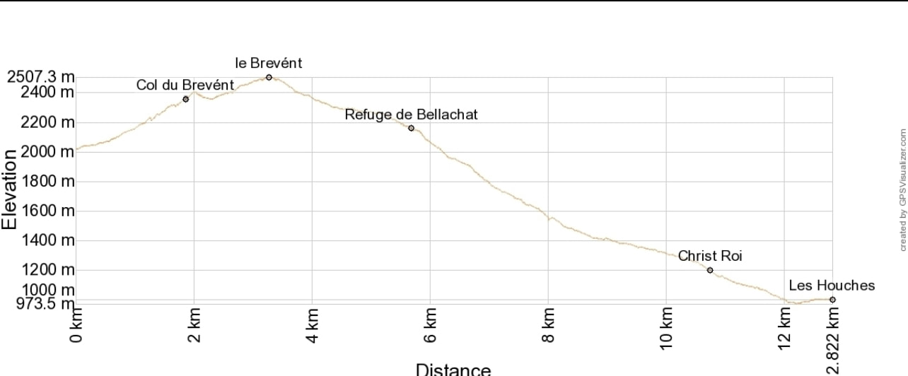
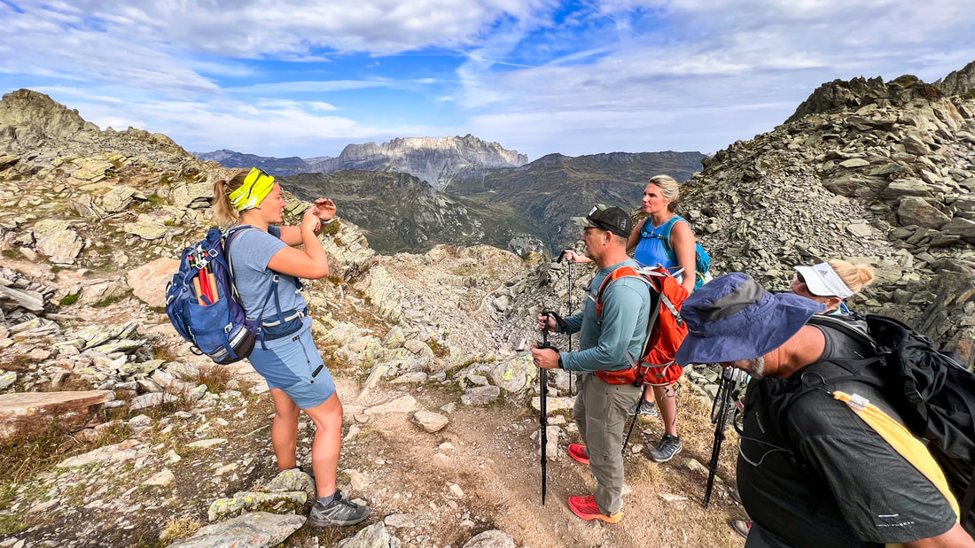
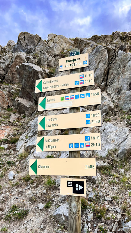
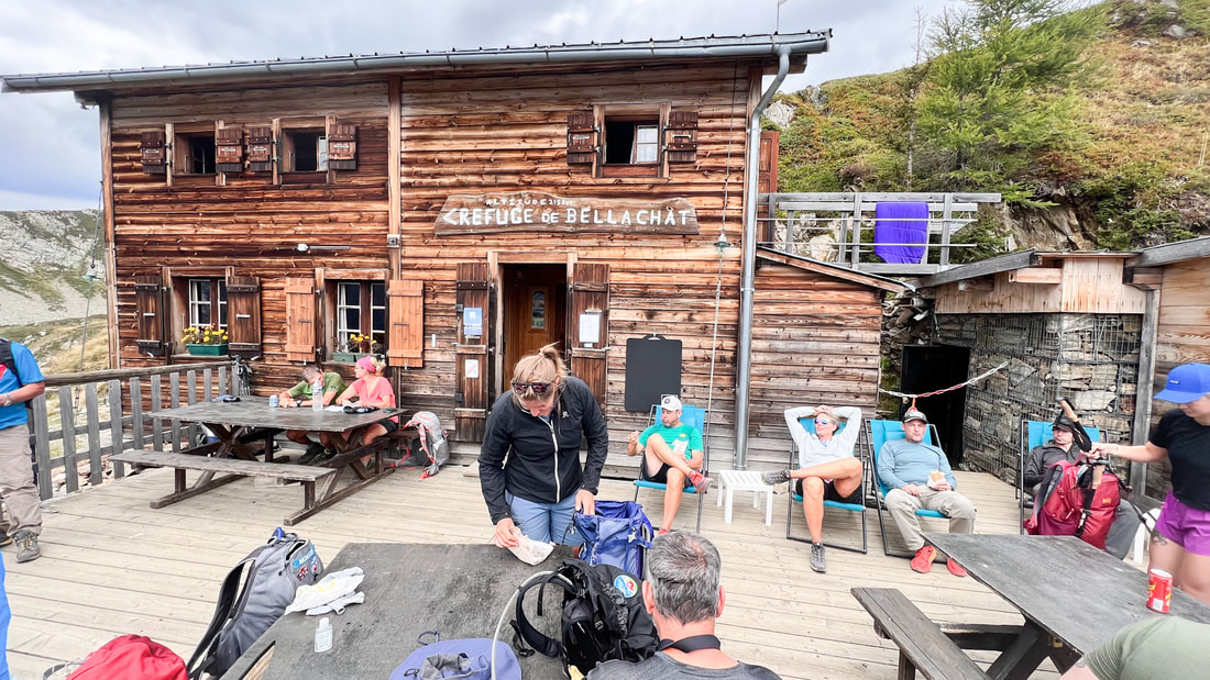
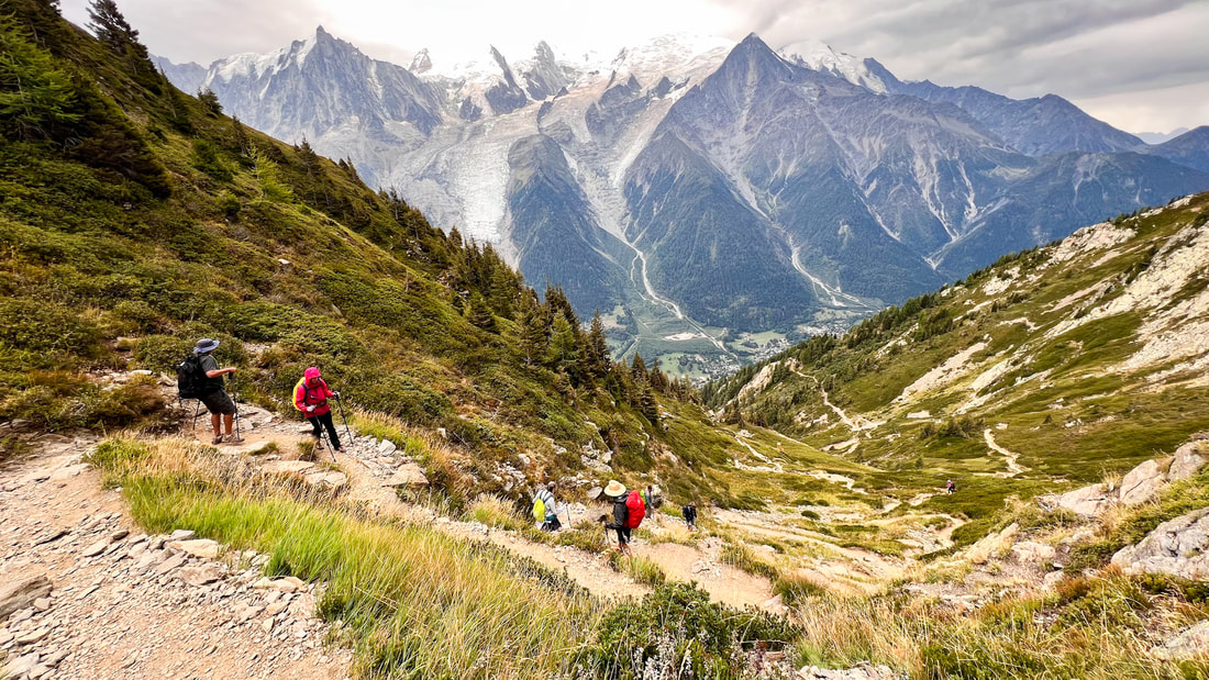
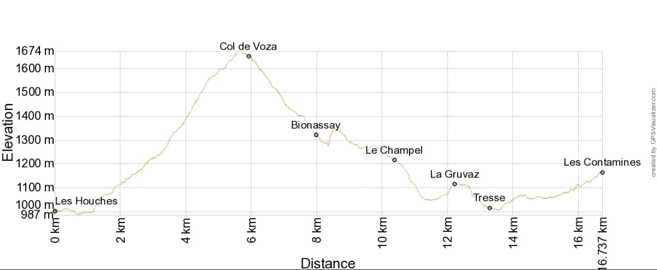
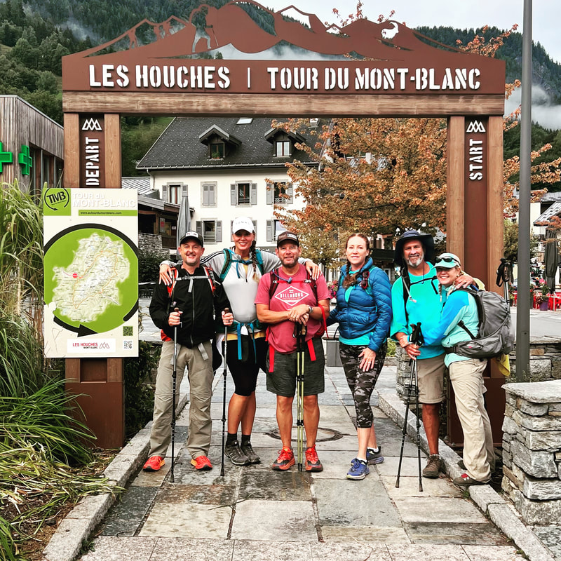
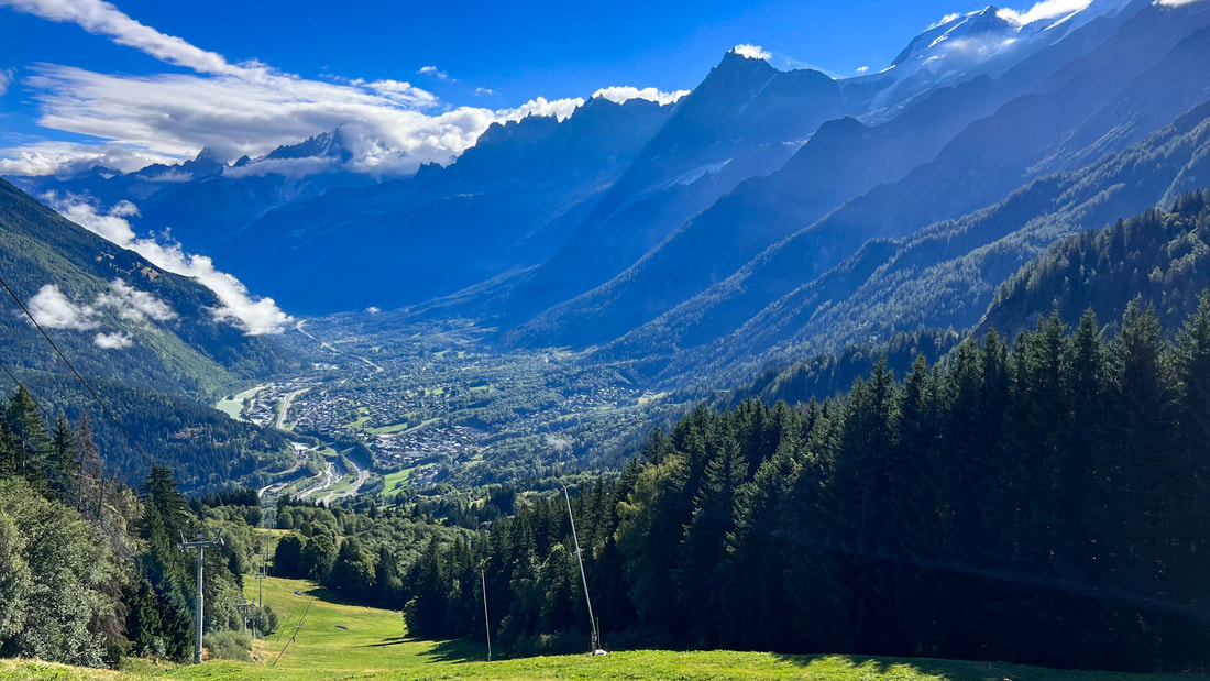
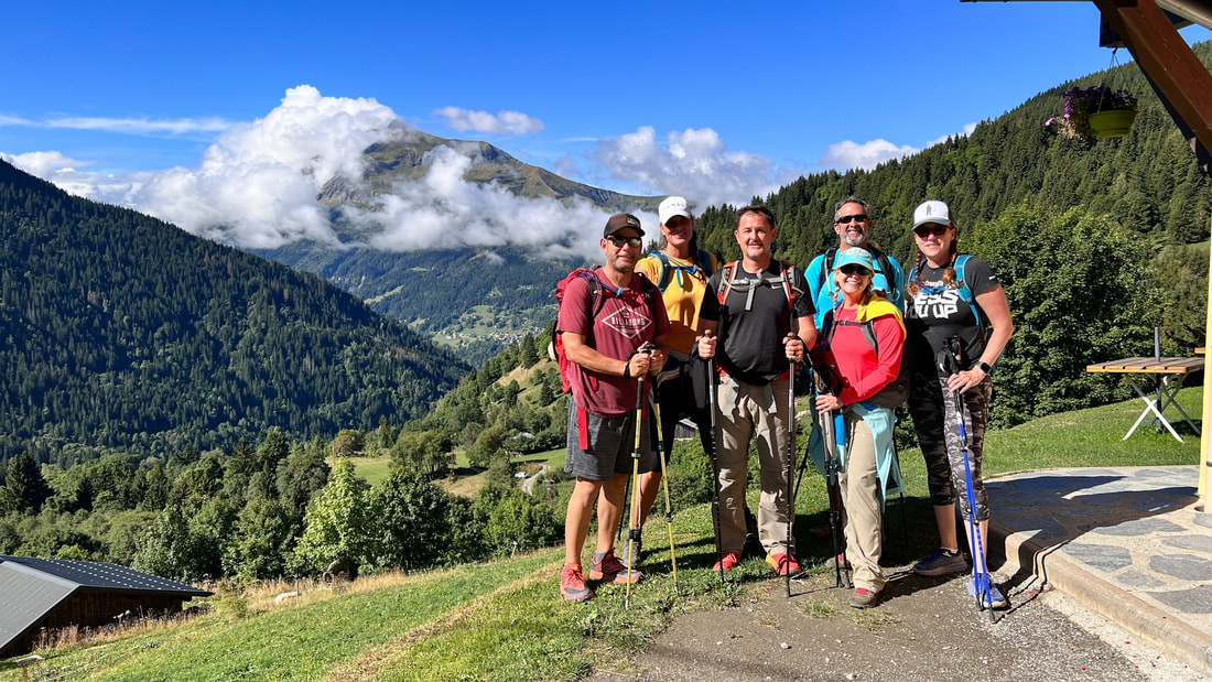
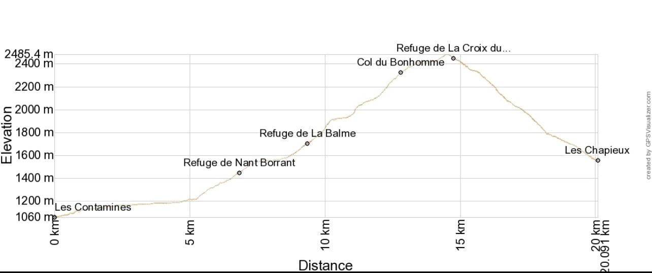
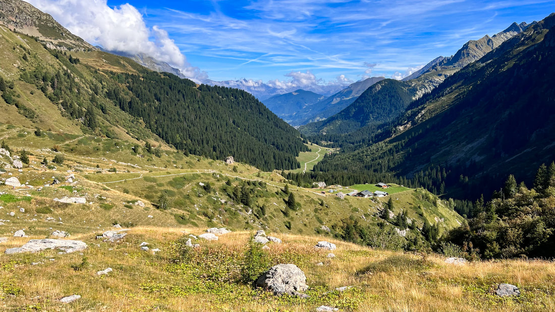
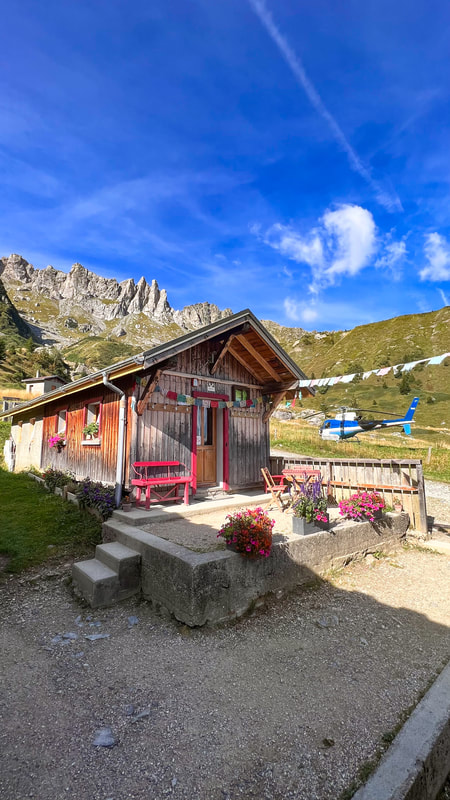
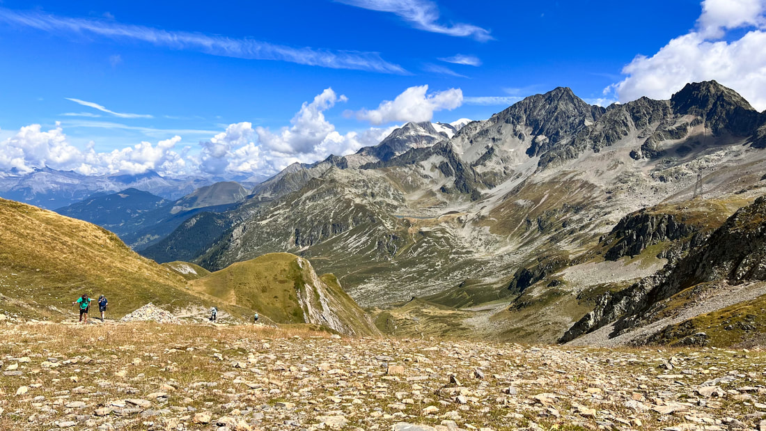
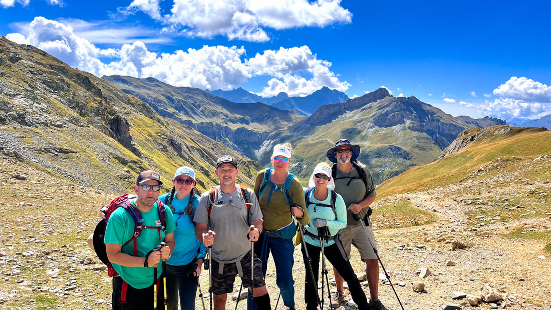
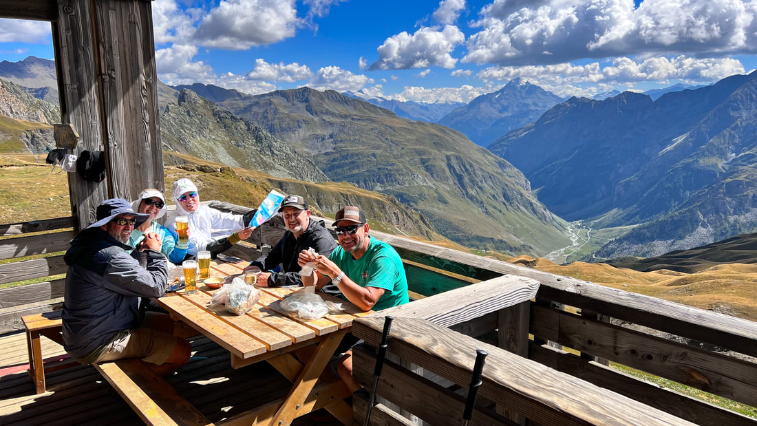
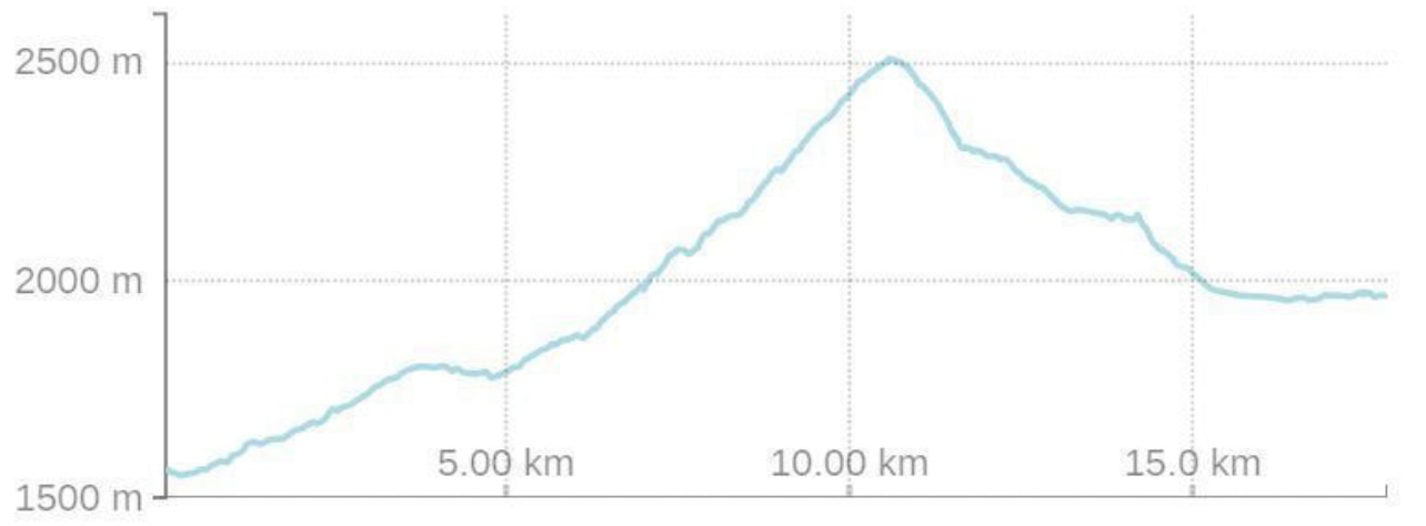
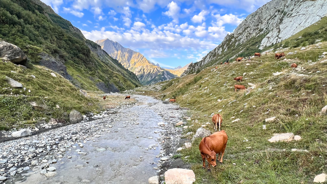
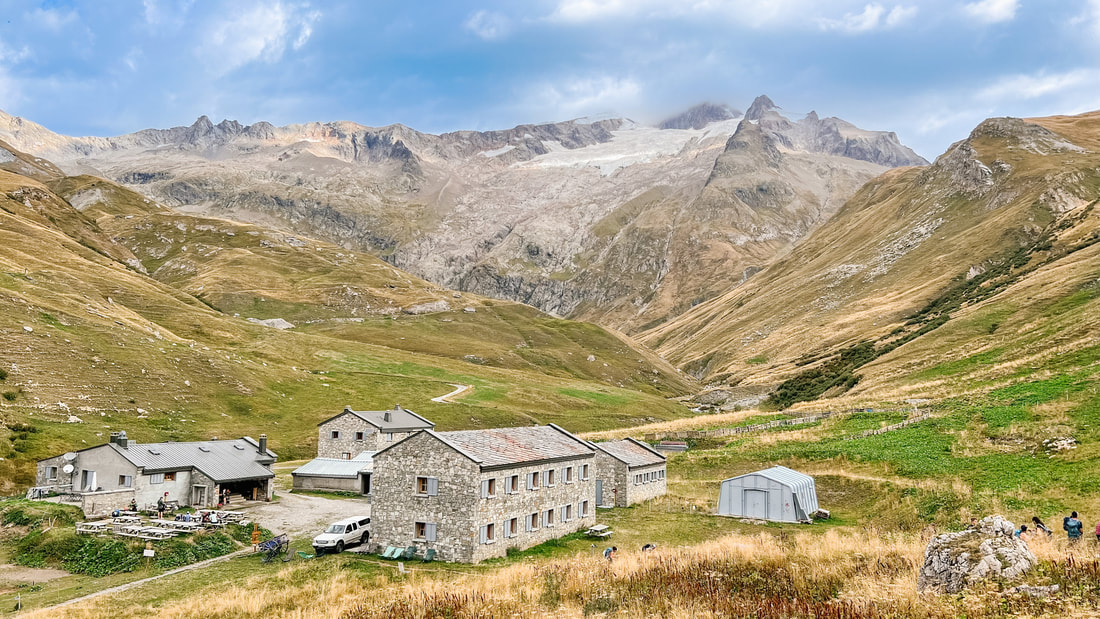
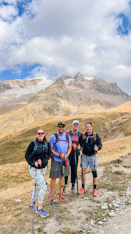
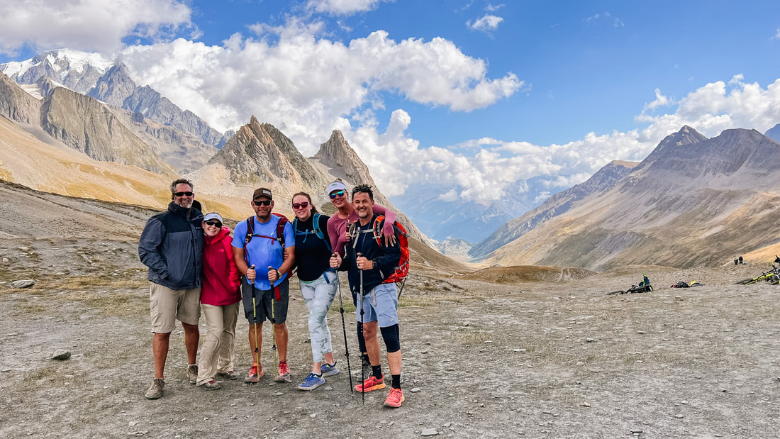
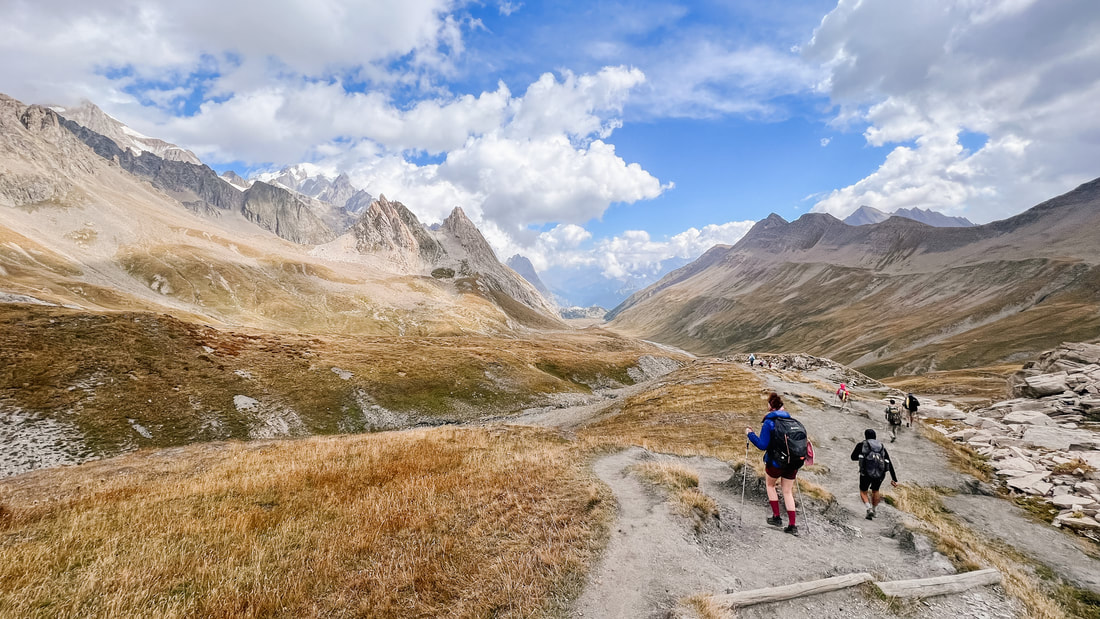
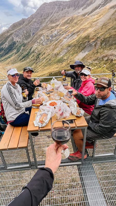
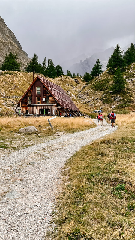
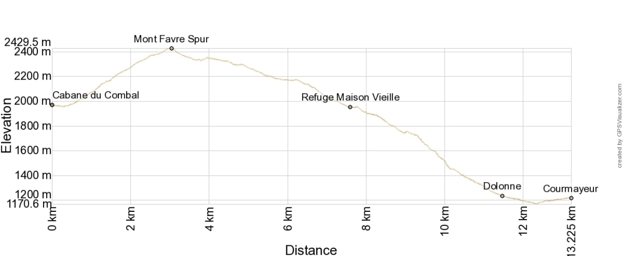
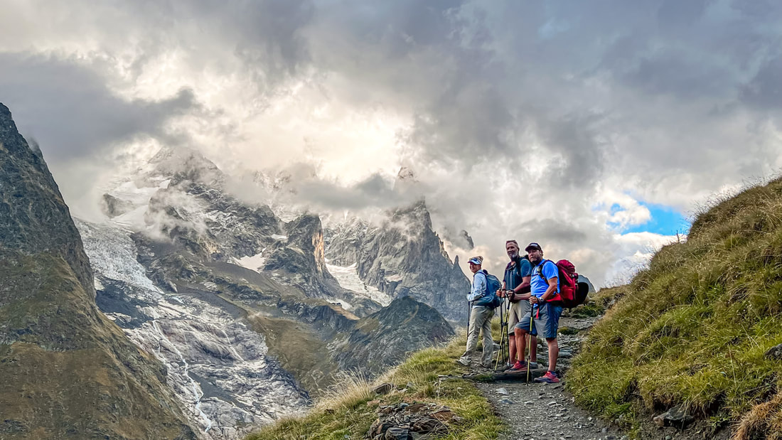
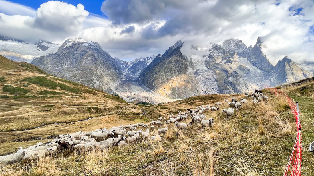
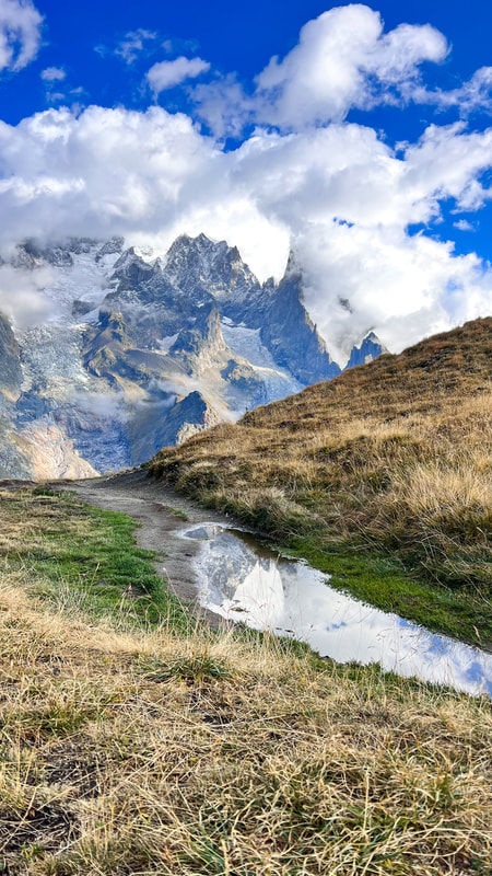
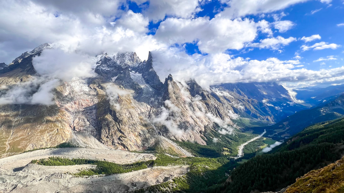
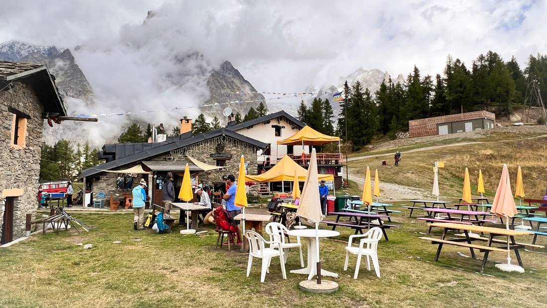
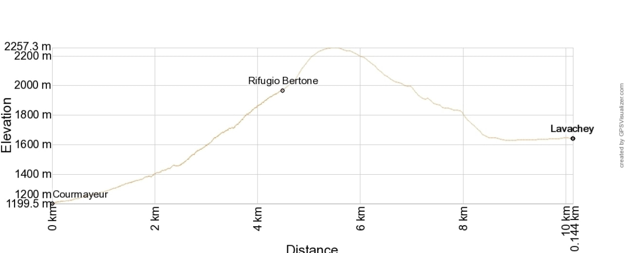
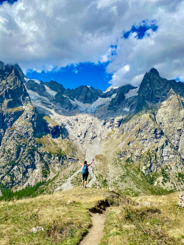
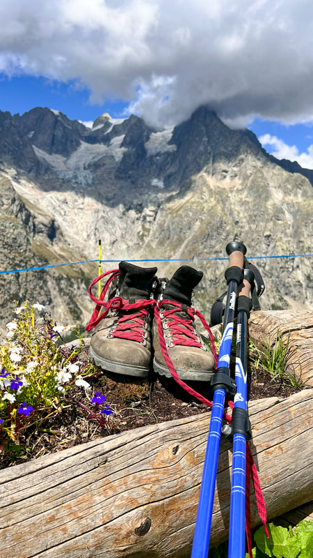
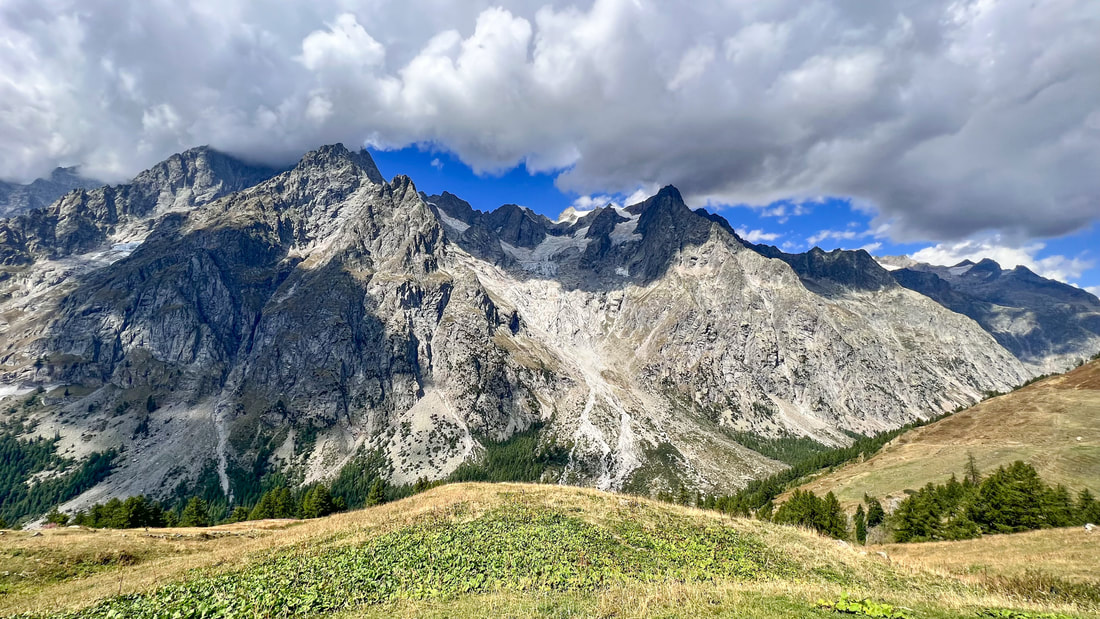
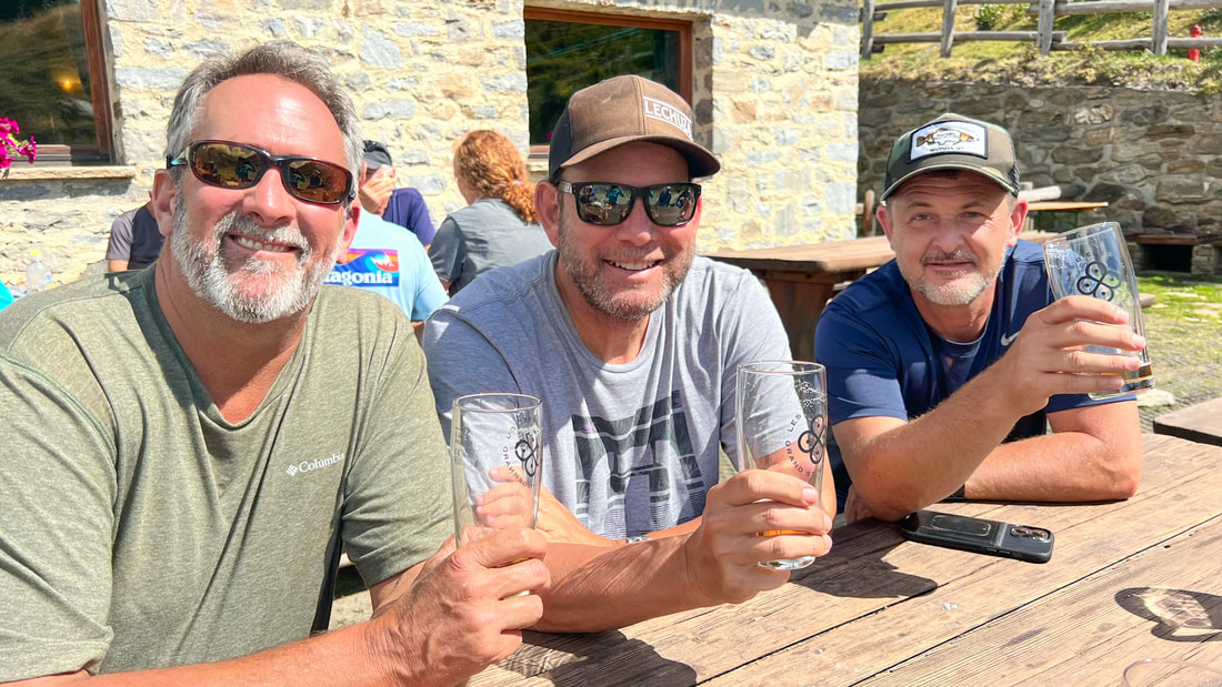
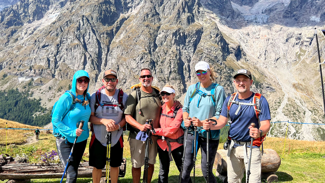
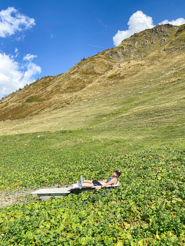
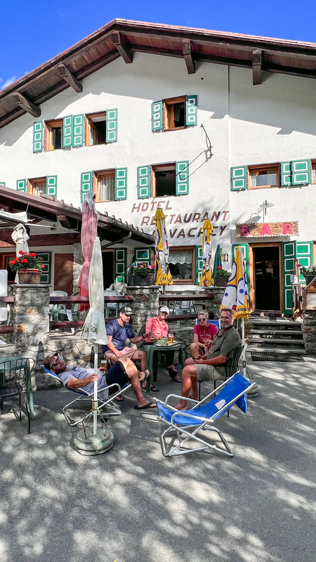
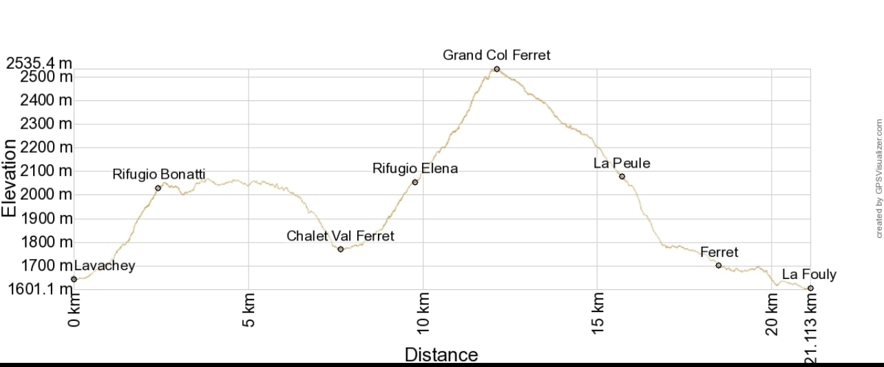
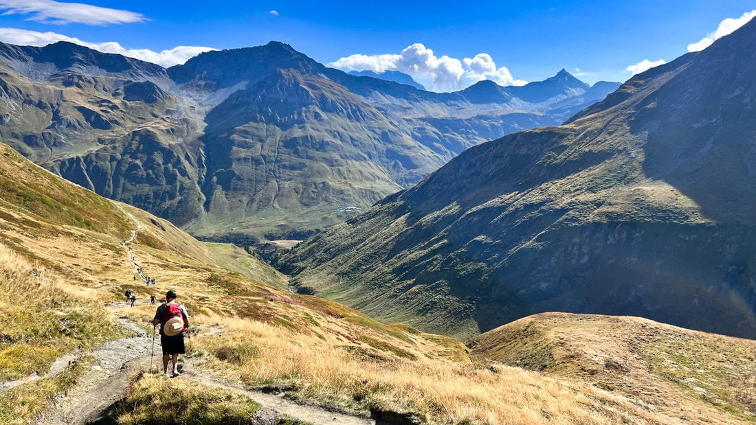
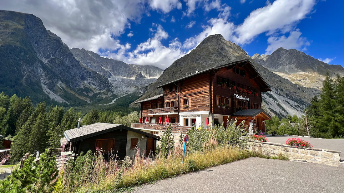
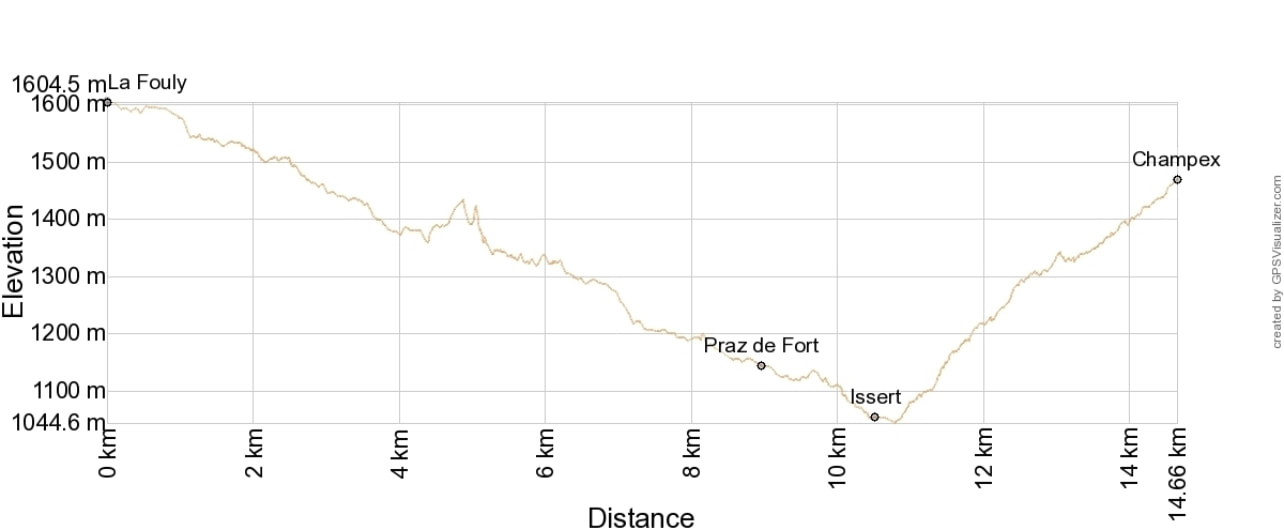
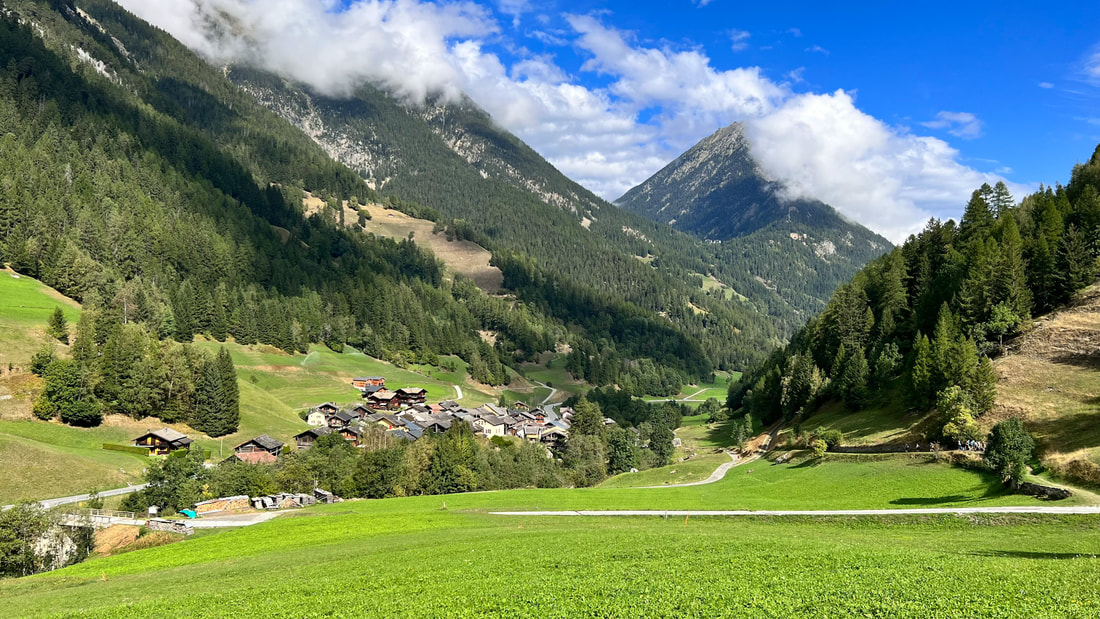
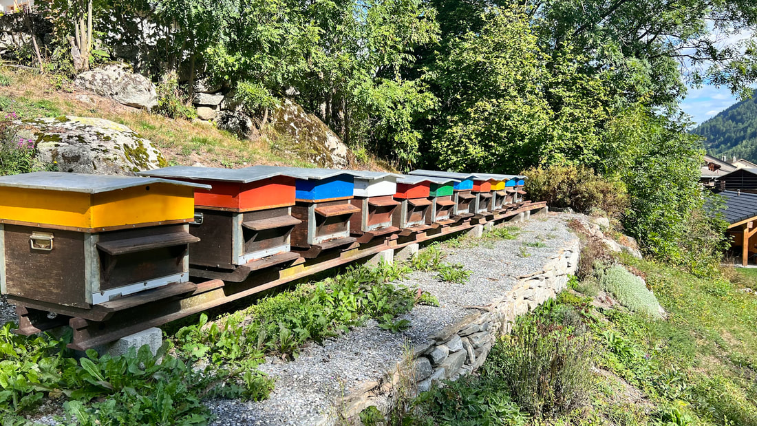
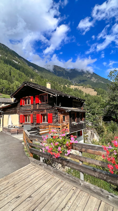
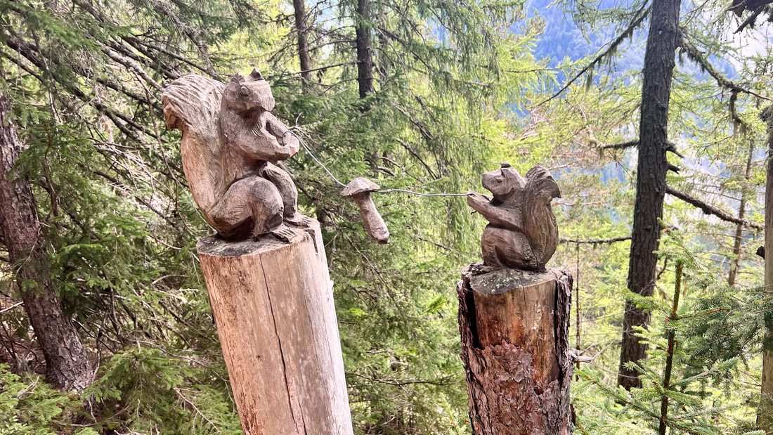
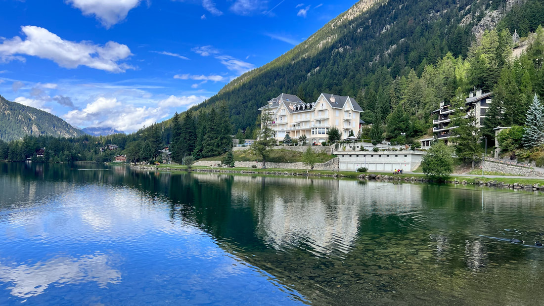
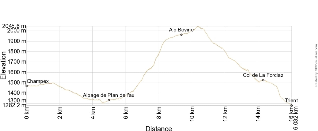
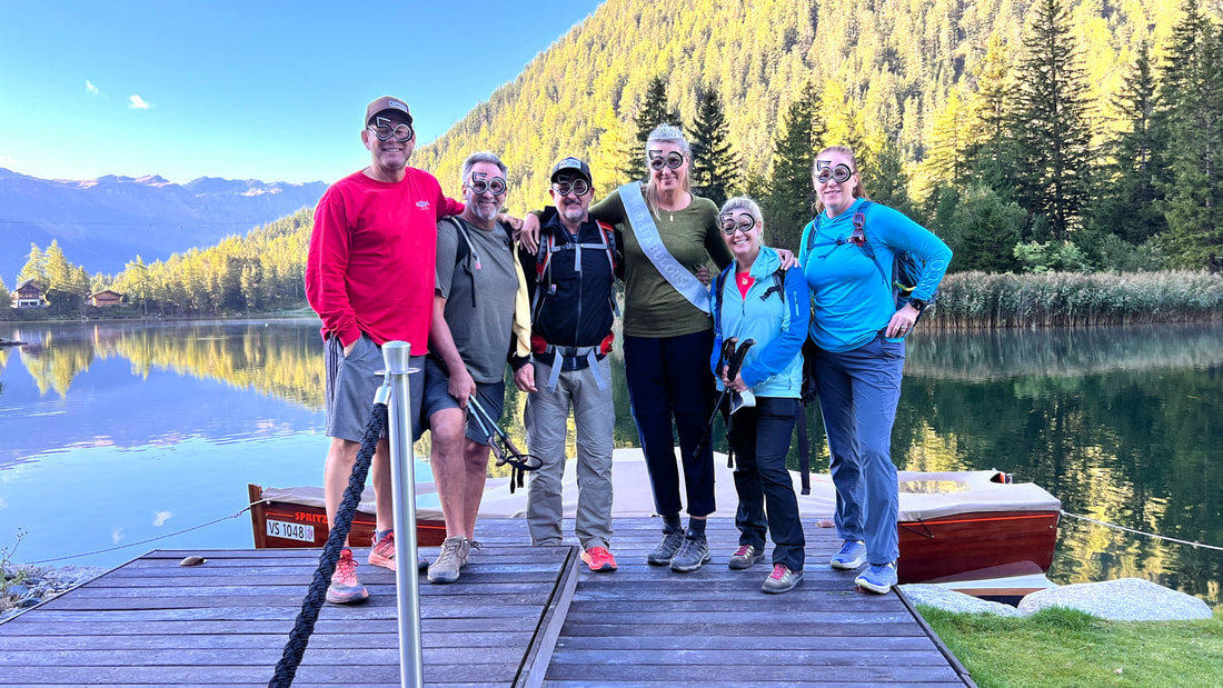
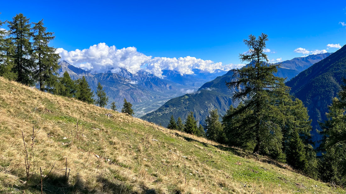
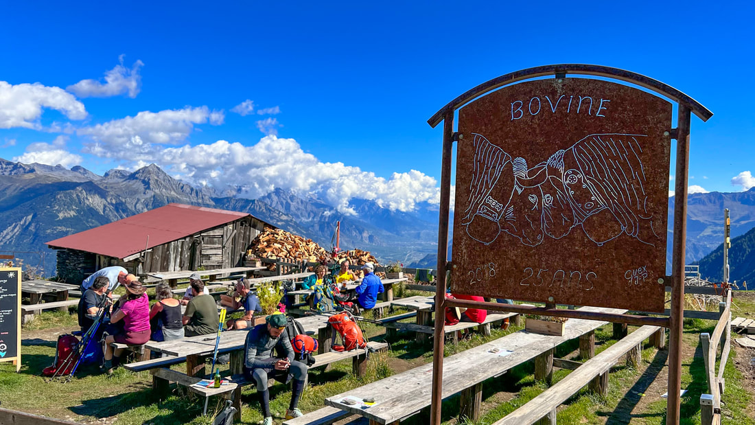
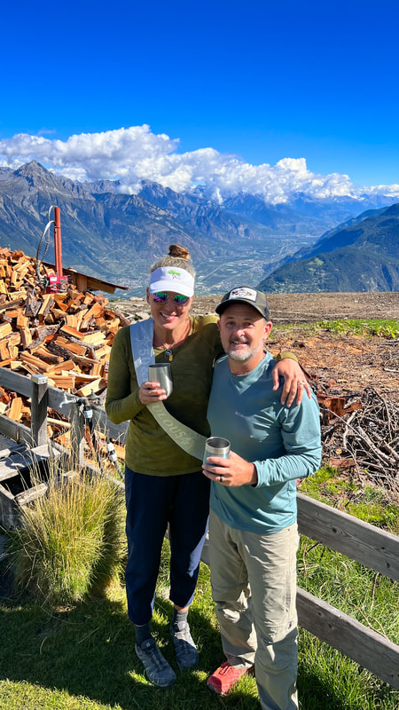
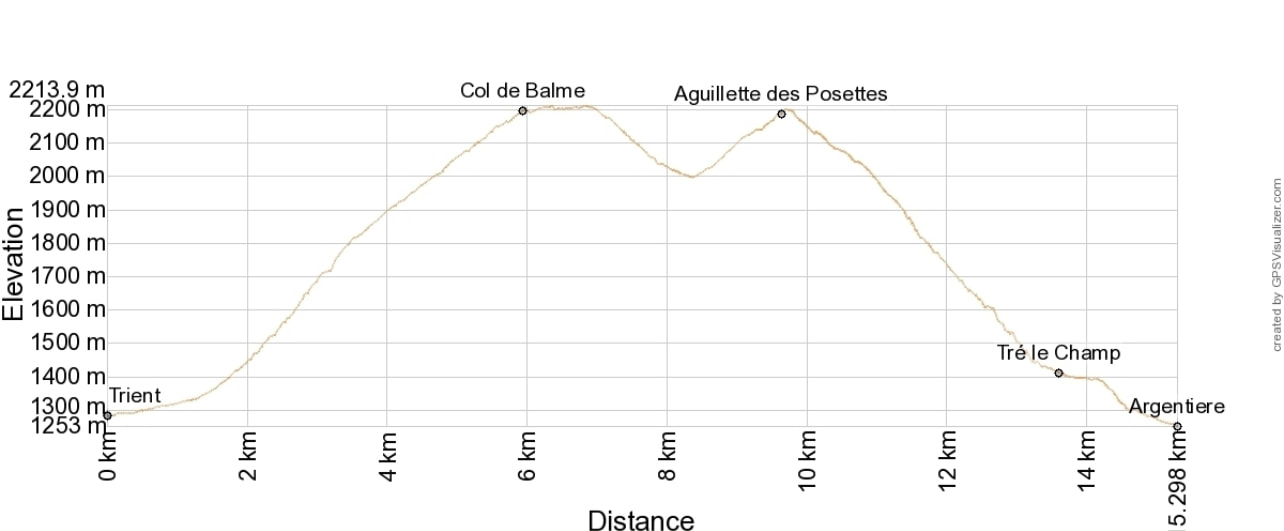
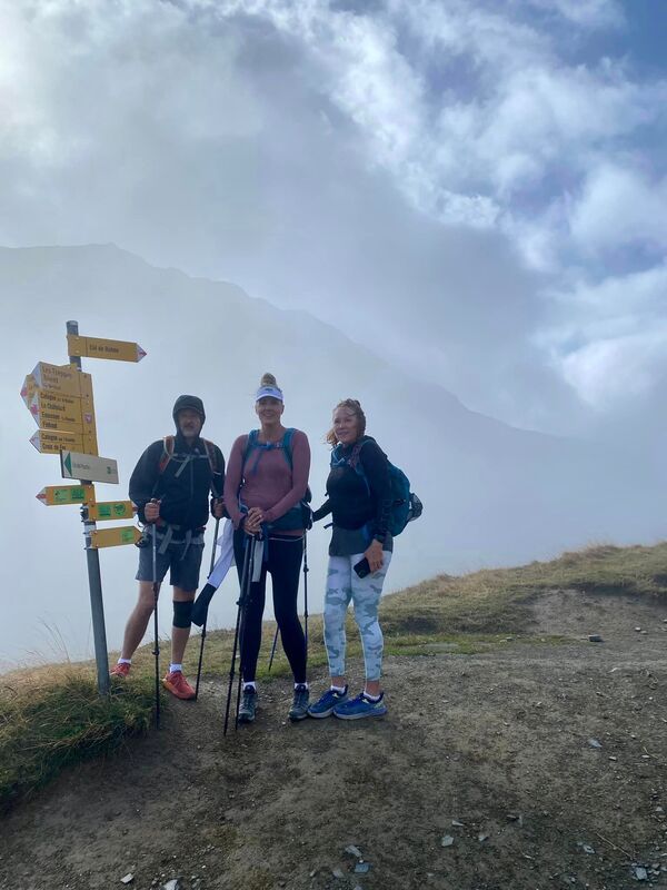
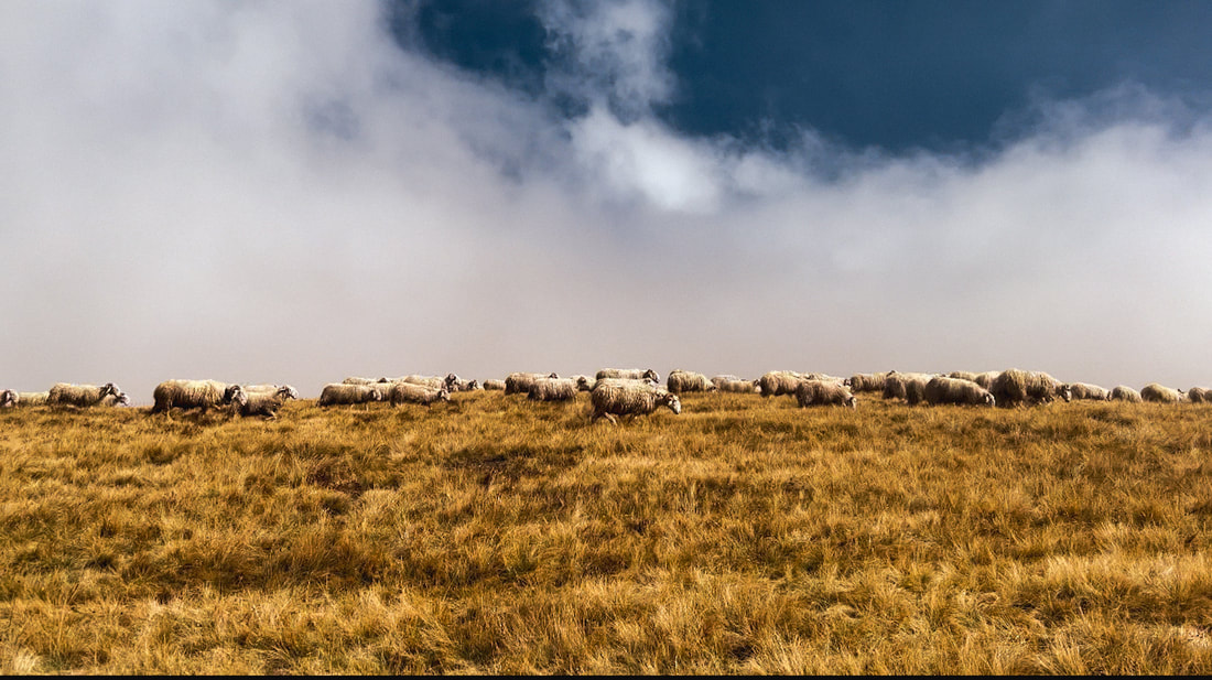
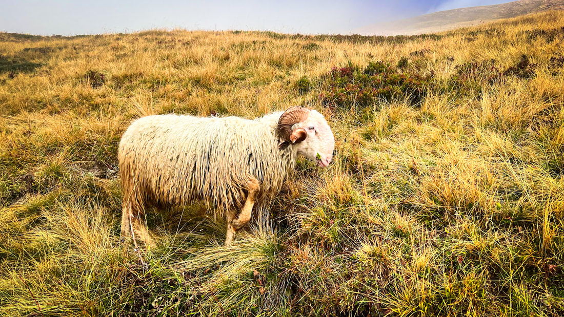
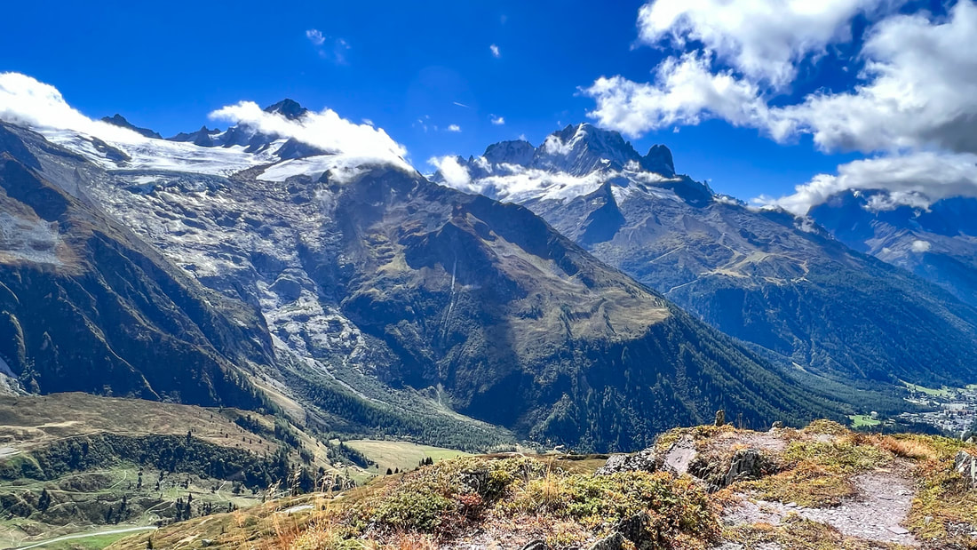
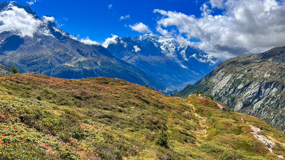
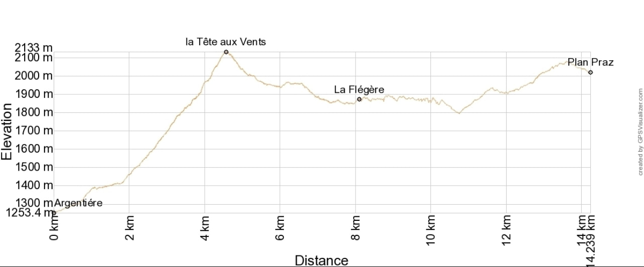
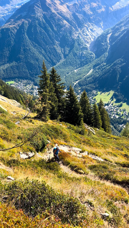
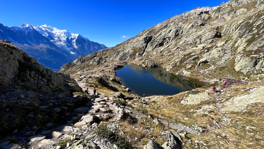
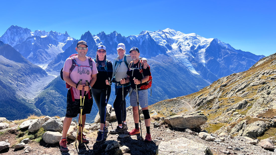
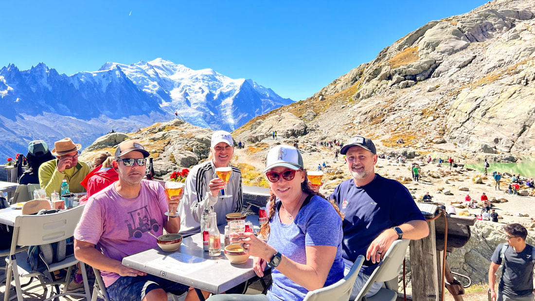
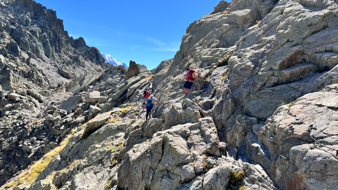
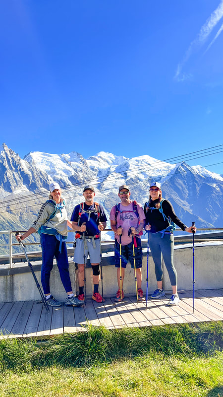
Sitting at home, bored out of my mind during the early weeks of the lockdown, I came across a youtube video of someone outside, hiking. I was stir-crazy and insanely jealous of this person hiking with the most amazing views of glacier-covered mountains and iconic alpine scenery. I knew that this was something I had to do. As soon as the world opened back up to us, I'd be on a plane flying to Europe so that I could hike The Tour du Mont Blanc. First thing on the list, find others who would share this experience with us. That was easy. Everyone I asked said "Hell ya!" My friends were just as stir-crazy and in need of adventure as I was. I had the crew that was going to hike the TMB with me! Let the planning begin. I'll share our experience of this trek and how we planned it. I hope it inspires you to attempt this glorious and rewarding adventure in the very near future. The Tour du Mont Blanc is a 110-120 mile trail (depending on the variants you choose) that goes around Mont Blanc Massif, a huge alpine mountain range in France, Italy and Switzerland. It's one of the most prestigious, and extraordinary backpacking trips in the world. You need to do it. My first recommendation is to have someone else plan this trip for you. You could, of course, plan it yourself but the problem many people run into is finding accommodations. This trek is known as a hut to hut hiking adventure and the rifugios, chalets and hotels can sometimes be few and far between. It's a good idea to begin planning a whole year in advance. Depending on how many miles you want to put in a day will determine where you stay. The most popular trek is done in 9-11 days: This is considered leisurely hiking. 7-13 miles a day.6-8 days is "fastpacking". You will be doing 16- 20 miles a day. 4-5 days: Is nearly running and you will do well over 20 miles a day. Ouch. The Tour du Mont Blanc is rated as difficult and demanding. You should not underestimate the difficulty and effort it takes to do this hike as I did. With that being said, there are many ways to make it easier, whether bypassing some strenuous sections or taking cable cars to minimize the impact of the steep downhills. We chose to do it in 11 days. I was in no hurry for this trek to end quickly. I wanted to enjoy every second of every day. We even added 2 rest days to prolong it even more. Most people choose to start the Tour du Mont Blanc in Chamonix, France or Courmayeur, Italy because these towns are big enough to get supplies in, they are easy to find transportation to and from, and are lively ski towns that are destinations in themselves. The official start of the TMB is in Les Houches, France. It really doesn't matter where you start the hike or which direction you go. The majority of hikers do the anti-clockwise route because this gives you the best views consistently of Mount Blanc. You can start anywhere along the trail because it's a big loop and it all connects. Most people choose to start the Tour du Mont Blanc in Chamonix, France or Courmayeur, Italy because these towns are big enough to get supplies in, they are easy to find transportation to and from, and are lively ski towns that are destinations in themselves. We used Pygmy Elephant to plan our trip. They were excellent and accommodating and I would use them again. They planned every detail, made every arrangement, answered every question and created our own personal digital mobile app that gave us the hiking details of every day. We flew into Geneva, Switzerland and stayed there for a few days before being picked up at our hotel and driven down to Chamonix where we would start the trek. We purchased the luxury package through Pygmy Elephant which allowed us to stay and "nicer" hotels where we could have a few more amenities with private rooms. Many people would argue that part of the charm of this particular hike is the hut-to-hut aspect of the route. Being able to stay in remote hilltop rifugios in dorm-style accommodations with million dollar views of the nearby glaciers is what makes this so special. I just like my privacy and was able to afford private rooms for the majority of this hike. You do you. Our first Hotel in Chamonix was Hotel Mont Blanc. This place is gorgeous and has spectacular views of the peak of Mont Blanc, the whole reason we were here. This hotel was so beautiful, we booked an additional night here at the end of the hike. Day 1 Planpraz to Les Houches 10 miles 1700 feet of elevation gain 4500 feet elevation loss. Our first day included a guide, Claire, full time pharmacist, part time hiking guide, full time badass. You don't need a guide for this tour but the package we had through Pygmy included a first day guide. It was nice to have someone as knowledgeable as Claire to lead us on our inaugural trek. She answered all our questions, got us acquainted with signage along the trail and offered up tons of recommendations on how to be successful on the tour. I had no idea there was a proper way to use our hiking poles. They were a lifesaver, I tell ya. You're going to need them every day but on this day especially. We started day 1 by taking the cable car up to Planpraz from the town of Chanonix. Planpraz was our official starting and ending point of our hike. This is where we would close the loop and eventually take the cable car back down to Chamonix. Refuge de Bellachat was our first taste of how glorious an afternoon break would feel. At the majority of Refugios we stopped at, depending on the time of day, we would alway grab a coffee or even better, a bowl of pasta and beer. Day 2 Les Houches to Les Contamines 10.5 miles 3200 feet of elevation gain 2300 feet of elevation loss We started from the front door of our accommodations from the previous night, Hotel du Bois, and walked a mile or so to the start of the trailhead. There was more road walking on today's hike than on any other day. We're pretty sure we got onto the wrong trail at some part of the hike which lead to more road walking but we don't know where the missed trail was. Many blog posts claim this is a relatively easy day and our information guide said there were no big assents. LIES!!! There wasn't a single day that I said "Well, that was relatively easy" and today was no exception. Today had a very long, steep uphill section right from the start that would give us our first taste of what was to come in the following days. We met a couple from Texas that we would end up seeing every day for the rest of the trek. They told us "One of us had a meltdown on the morning climb" and thought maybe they had made a mistake by taking this hike on. I understood the feeling. It's possible that we just hadn't acclimated our legs to the daily pounding we were going to be giving them. There are two different cable cars you can take from Les Houches to a point above the Col de Voza, todays highest point (either Prarion or Bellevue) but we felt like that was cheating. I think we all privately thought, at some point, "I wish I took that cable car this morning". Day 3 Les Contamines to Les Chapieux 14.5 miles 4500 feet of elevation gain 3000 feet of elevation loss Probably the hardest day of the entire hike for many of us. The challenge today, reach Col du Bonhomme. Today had us realizing that this hike was no joke and I didn't feel as prepared as I thought I was. This section was spectacularly beautiful. Truly majestic. Incredibly difficult. Lots and lots of climbing. Maybe we were just getting used to our mountain legs and the constant pounding of uphill climbing. They were filled with lactic acid from the previous hikes and we hadn't done much stretching. By the time we finally reached the Col du Bonhomme, we were all on such a high of accomplishment that it helped propel us onwards to our next rest stop, Refuge de la Croix. This was such a welcome rest and the beer and wine we greedily consumed helped our long descent to our night's accommodation, Auberge de la Nova. Day 4 Les Chapieux, France to Cabane du Combal, Italy 12.1 miles 3600 feet of elevation gain 1700 feet of elevation loss None of us slept very well in our communal dorm room we shared with just one stranger. It was like sixth-grade camp with the drunken snickering and farting that children find so funny. I felt bad for our foreign roommate, but that seems to be part of the shared experience of backpacking in the Alps. Even with the lack of sleep and a bit of deliriousness, we're now getting in the groove of things! Everyone is feeling so much better. Our bodies are now understanding the program we have set for them and there seems to be the tiniest bit of spring in our steps. We started today's hike with a gradual ascent through a valley with a lot of bumper-to-bumper cattle traffic. Climbing up to Col de la Seigne, we had the closest views of Mount Blanc we were going to get. Another tough but spectacular day. There are multiple "must-stop" rest stops today. The first one is a historic alpine chalet, Refuge Les Mottets. It's a good idea to get some caffeine in you before your long ascent to Col de la Seigne. Once at the top, we get to hike down into Italy. If you're not staying here, a must-stop along the way is at Refugio Elisabetta. Have lunch and some beer on the balcony that looks out to the quickly receding glaciers. Our accommodations for the night were at Cabane du Combal. Just a bit of advice. You will need to hike with whatever you'll be needing for the evening. Your baggage will not show up here as there is no baggage transport for this refugio. Don't be surprised and panicky like we were when we had to sleep in the clothes we hiked all day in. After the shock wore off of not having clean underwear or a toothbrush, we enjoyed our stay here very much. Day 5 Cabane du Combal to Courmayer 9.4 miles 1900 feet of elevation gain 3900 feet of elevation loss Today was one of my absolute favorite days for views. Absolutely stunning. The first half of today's hike was a gradual climb that allowed us to have our heads up towards the sky and the jagged peaks of the Mount Blanc Massif. Some of our previous climbs were spent leaning into our hiking poles and watching each foot pass the other, encouraging ourselves to march another 5 minutes before taking a breather to allow our heart rates to slow down a bit. My husband Mike, said of these types of climbs, "You have plenty of time to contemplate the rocks, the dirt and life." Lots of life-contemplation going on during this trip. Our only refuge stop today was at the charming Refuge Maison Vieille. Situated at the top of a ski resort overlooking the town of Courmayeur. Our descent into the town of Courmayeur was mind-numbingly long and in some areas, exceptionally steep. A couple of us had to take a fire road that paralleled the trail to save our knees. Day 6 Courmayer to Lavachey 9.6 miles 3450 feet of elevation gain 1700 feet elevation loss Yesterday was the first of two rest days we scheduled for ourselves. We stayed in the beautiful ski resort town of Courmayeur. We did laundry, got massages, took long naps and walked around the charming shopping area. Some of us making plans to one day come back here to ski. We'll see if that happens. Hopefully. Most itineraries only schedule 1 rest day for an 11-day hike. It really depends on you and your group and how much time you have or how much rest you may think you'll need. We scheduled 2 rest days. We thought we might actually need the rest and mostly because we didn't want the adventure to end any faster than it had to. We came a long way for this. No need to rush it along. We started today off out of the town center with yet another ass-kicker of a hill climb. We stopped to catch our breath and have cappuccinos at Rifugio Alpino G. Bertone. Next stop, Rifugio Bonatii. This stop required pasta and beers to fuel us for the rest of the day. There would be a very long descent after our lunch. But not before we get to walk the flank of Mont de la Saxe and feel as if we were walking straight into glaciers. Another stunning day. Completing every hike was cause for celebration and rest. Tonights hotel is the adorable Hotel Lavachey. Day 7 Lavachey, Italy to La Fouly, Switzerland 15.5 miles 4000 feet of elevation gain 4200 feet of elevation loss Today's itinerary told us that we would be crossing the border into Switzerland and that our hike would be tougher than yesterday's. How can that be possible? I very much underestimated the difficulty of this hike. What was I thinking? We opted to walk 2 miles from our hotel just to get to the trailhead. It was flat, treelined and lovely and it felt good to walk without any incline. When we reached the starting point, There were several busloads of hikers being let out from the surrounding areas so that they too could begin today's leg of the TMB. We rushed to get in front of them so we wouldn't get stuck behind a slower-moving group on this long hill. Boy did that put a burning in my lungs. By the time I unknowingly entered Switzerland and reached The Grand Col Ferret, I wish I would have taken my time and enjoyed the scenery a bit more and not have worried about getting caught or slowed down by anyone. This is not a competition! Unless you're doing the Ultra Tour du Mont Blanc Race then, you better get going. Our beautiful and gradual descent into Switzerland was made obvious by the increasingly louder chimes of cowbells. We passed through stunningly charming villages until we got to one of the most popular hotels on the TMB route, Hotel Eledweiss. The views of glaciers from the backside of the hotel are breathtaking. Day 8 La Fouly to Champex 9.3 miles 1800 feet of elevation gain 1820 feet of elevation loss We were told our hike today was considered the easiest day. Mostly true. There are no steep switchbacks or big mountain passes to conquer. The majority would be passing through charming villages with lots of pretty distractions. Garden gnomes, craved wooden statues, colorful bee hives, mushrooms sprouting along the hillsides and beautiful flower boxes took the place of expansive mountain views. We had a short but steep stretch to get us into the gorgeous lake town of Champex where we would have our next rest day. We stayed at the fantastic boutique hotel, Au Club Alpin, where we all had messages and took advantage of their spa. Day 9 Champex to Trient 10.1 miles 2700 feet of elevation gain 3100 feet of elevation loss September 22, 2022. We're celebrating Michelle Rohrbach's 50th birthday today! I couldn't think of a more impressive accomplishment to achieve on such a day. And guess what. Another doozie of a climb. Our long morning assent was made a wee bit more difficult due to the canisters of wine we were carrying in our backpacks in anticipation of celebrating Michelle once we reached "Alp Bovine" which was the highest point of our day. Our boozy decent seemed a bit less painful than the days prior. Tonight we stay at Hotel La Grande Ourse. Day 10 Trient, Switzerland to Argentiere, France Crossed another border today! 10.6 miles 3900 feet of elevation gain 3000 feet of elevation loss What a glorious site it was to finally reach the magically situated, Refuge du Col de Balme. Unsurprisingly, it was a long and winding trail to get here and the coldest morning we have encountered. Stepping inside this crowded refuge with our frozen fingers and faces brought on immediate relief. It was crowded for good reason. The warmth from many tired bodies nearby and thick hot chocolate were the best I've ever felt and tasted. When we finally warmed our bodies in the refuge, the clouds cleared and the sun, once again, lit up the Mont Blanc Summit. It had been several days since we've seen it. It's spectacular from evey angle. Our accommodations tonight were at Hotel Les Grands Montets Day 11 Argentiere to the cable car station at Planpraz, Chamonix 11.5 miles 5000 feet elevation gain 2000 feet elevation loss For the total hike, we logged 120 miles 40,120 feet of elevation gain 350,000 steps We did it! We completed and closed the loop! We finished the 11th and final day of our TMB hike. Today's hike didn't go how we hoped or planned. After we climbed up the steep trail out of the town of Argentiere, we decided to take a higher and longer route to stop at Lac Blanc (White Lake). We rested and drank beer at the Lac Blanc Refuge and started to celebrate our hike prematurely. Then along the way, we got confused about directions and continued onto an even higher and longer route. There was a bit of panic when we realized we were running out of time, water and energy to make it back to the cable car that would take us back down to Chamonix. If we missed it, we would have to hike down the miles of steep switchbacks into town. We knew we were just too tired for that. So after many extra miles of scrambling over rock fields, constantly telling each other to hurry up and not enjoying the views as we should have, we made it to the cable car just in time for the ride down. Unfortunately, we weren't able to finish in the same spot as we started with Matt and Stacey. We were separated after our beer stop. We regrouped at a bar in Chamonix to celebrate and attempt to control our emotions. Today we started in Argentiere and finished at the cable car at Planpraz cable car station which is above Chamonix, France. This is where we started and this is where we ended this fantastic adventure. We closed the loop that is the Tour du Mont Blanc. This was by far one of the most memorable and challenging things I've ever done. It was made even better by sharing it with good friends. I'll be forever grateful to them for saying "yes" to this beautiful memory we made. We stayed at Hotel Mont Blanc again. It was so nice here that we decided on staying an extra night so we could enjoy the town for one more day. So glad we did.
0 Comments
Leave a Reply. |
AuthorI started this blog so that I could document and share my adventures in travel, photography, food and the things that inspired me. It's a work in progress as are most things in life. ArchivesCategories |

 RSS Feed